Soil series profile
Valent soil series
Valent is a excessively drained soil with a sand surface, mapped on 3,522,047 acres in 63 counties across 7 states. Hydrologic group A.
- Drainage class
- Excessively drained 100% of mapped acres
- Hydrologic group
- A 100% of mapped acres
- Typical topsoil pH
- 6.8 neutral · range 6.6–7.2
- Mapped area
- 3.5M acres in 63 counties, 7 states
Typical Valent profile
Texture and pH by depth
Show as a table
| Depth | Texture | pH | Clay | Sand | Organic matter |
|---|---|---|---|---|---|
| 0–4 in (A) | Sand | 6.6 | 3% | 96% | 0.9% |
| 4–80 in (C) | Sand | 7.2 | 2% | 96% | 0.1% |
What this means
What Valent soil means for gardens, lawns and septic systems
For gardens
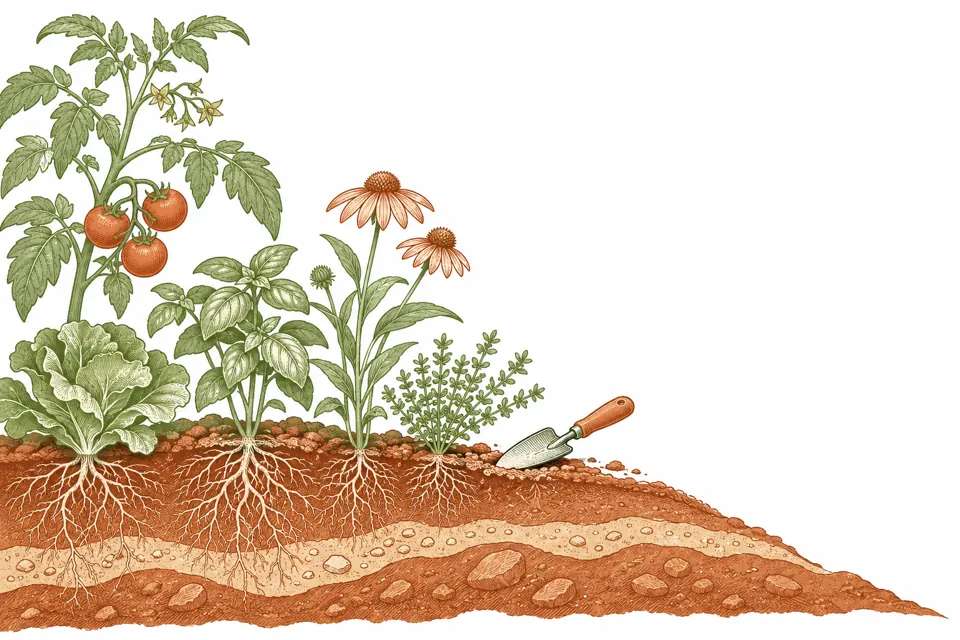
Typical topsoil in Valent soils is neutral: pH 6.8 (most land between 6.6 and 7.2), the range most vegetables, flowers and lawn grasses prefer.
Sandy topsoil covers 100% of mapped Valent acres. It drains fast and warms early in spring, but dries out and loses nutrients quickly: mulch, compost and steady watering help. The most common surface texture is sand (56% of mapped Valent acres).
100% of mapped Valent acres is excessively or somewhat excessively drained: water moves through fast, so gardens need more frequent watering in dry spells.
For lawns and yards
100% of mapped acres is in hydrologic group A, where water soaks in fast. Lawns there dry out quickly; deeper, less frequent watering and organic matter help.
For a septic system
For conventional septic absorption fields, NRCS rates 100% of the acres in mapped Valent soils very limited, 0% somewhat limited and 0% not limited.
Where the soil is very limited (slow permeability, a high water table, flooding, shallow bedrock or steep slopes), alternative systems such as mound or sand-filter designs are common and cost more.
Only a licensed site evaluation or perc test at the actual lot decides whether a system is allowed and which design.
Where Valent soil is found
Mapped acres
Valent is mapped in Colorado, Nebraska, Kansas, Wyoming, South Dakota, Oklahoma and New Mexico. The 60 counties with the most Valent acres:
| County | Acres | Share of county land |
|---|---|---|
| Yuma County, CO | 428,282 | 29.2% |
| Lincoln County, NE | 301,130 | 18.4% |
| Dundy County, NE | 259,950 | 44.2% |
| Sioux County, NE | 206,853 | 15.6% |
| Washington County, CO | 204,976 | 12.7% |
| Weld County, CO | 200,187 | 7.8% |
| Chase County, NE | 163,126 | 28.5% |
| Morgan County, CO | 153,127 | 19.0% |
| Finney County, KS | 115,313 | 13.8% |
| Logan County, CO | 111,636 | 9.5% |
| Kearny County, KS | 106,099 | 19.1% |
| Lincoln County, CO | 96,239 | 5.8% |
| Cheyenne County, CO | 90,619 | 7.9% |
| Perkins County, NE | 88,945 | 15.8% |
| Morrill County, NE | 85,855 | 9.4% |
| Kiowa County, CO | 84,140 | 7.3% |
| Goshen County, WY | 76,384 | 5.5% |
| El Paso County, CO | 70,841 | 4.8% |
| Hamilton County, KS | 61,482 | 9.6% |
| Prowers County, CO | 58,437 | 5.6% |
| Laramie County, WY | 49,241 | 2.9% |
| Pueblo County, CO | 48,325 | 3.2% |
| Bent County, CO | 41,714 | 4.3% |
| Phillips County, CO | 39,372 | 9.4% |
| Box Butte County, NE | 37,746 | 5.5% |
| Kit Carson County, CO | 36,087 | 2.6% |
| Crowley County, CO | 31,595 | 6.2% |
| Garden County, NE | 26,631 | 2.4% |
| Hayes County, NE | 25,248 | 5.5% |
| Baca County, CO | 23,029 | 1.4% |
| Sedgwick County, CO | 22,437 | 6.6% |
| Banner County, NE | 22,096 | 4.6% |
| Dawes County, NE | 17,107 | 1.9% |
| Scotts Bluff County, NE | 15,597 | 3.3% |
| Gray County, KS | 15,588 | 2.8% |
| Haskell County, KS | 13,422 | 3.6% |
| Fall River County, SD | 11,892 | 1.1% |
| Texas County, OK | 11,278 | 0.9% |
| Otero County, CO | 10,967 | 1.4% |
| Sheridan County, NE | 10,696 | 0.7% |
| Keith County, NE | 9,383 | 1.4% |
| Hitchcock County, NE | 5,975 | 1.3% |
| Las Animas County, CO | 5,448 | 0.2% |
| Custer County, SD | 4,251 | 0.5% |
| Deuel County, NE | 3,730 | 1.3% |
| Grant County, KS | 3,664 | 1.0% |
| Adams County, CO | 3,255 | 0.4% |
| Johnson County, WY | 2,525 | 0.1% |
| Stanton County, KS | 2,351 | 0.5% |
| Scott County, KS | 1,883 | 0.4% |
| Lane County, KS | 1,212 | 0.3% |
| Jackson County, SD | 1,080 | 0.1% |
| Arapahoe County, CO | 865 | 0.2% |
| Union County, NM | 570 | 0.0% |
| Niobrara County, WY | 532 | 0.0% |
| Crook County, WY | 499 | 0.0% |
| Cheyenne County, NE | 480 | 0.1% |
| Denver County, CO | 312 | 0.3% |
| Huerfano County, CO | 112 | 0.0% |
| Cheyenne County, KS | 98 | 0.0% |
Septic absorption fields
NRCS rating, share of Valent acres
Show as a table
| Category | Share of acres |
|---|---|
| Not limited | 0.0% |
| Somewhat limited | 0.0% |
| Very limited | 100.0% |
Drainage, water table and flooding
Share of Valent acres
- Depth to seasonal high water table
- None reported within about 6.5 feet (median where reported).
- Flooding
- Not mapped as flooding on most acres.
- Slope
- Typically 5–20% (median 7%).
- Topsoil organic matter
- Median 0.9%.
Drainage class
Show as a table
| Category | Share of acres |
|---|---|
| Excessively drained | 100.0% |
| Somewhat excessively drained | 0.0% |
| Well drained | 0.0% |
| Moderately well drained | 0.0% |
| Somewhat poorly drained | 0.0% |
| Poorly drained | 0.0% |
| Very poorly drained | 0.0% |
Hydrologic soil group
Show as a table
| Category | Share of acres |
|---|---|
| A: fast infiltration (mostly sandy or gravelly) | 100.0% |
| B: moderate infiltration | 0.0% |
| C: slow infiltration | 0.0% |
| D: very slow infiltration (clayey, shallow or wet) | 0.0% |
| A/D: D as is, A if drained | 0.0% |
| B/D: D as is, B if drained | 0.0% |
| C/D: D as is, C if drained | 0.0% |
Sources & data dates
- Source
- USDA NRCS Soil Survey Geographic Database (SSURGO), queried through Soil Data Access. Public domain.
- Data date
- SSURGO as published on November 3, 2026 (most recent survey area update October 26, 2026). NRCS refreshes SSURGO each October.
- Scope
- All map unit components named Valent (component kind "Series") in SSURGO: 3,522,047 acres.
- Method
- Shares are by mapped acres of Valent components. The profile comes from the single largest Valent component. Full methodology.